
Chapter 2: Locating Places on the Earth – Class 6 Notes provides a clear and concise guide to understanding maps, globes, latitudes, longitudes, and the grid system. We’ve distilled all the essential topics from NCERT into easy-to-follow explanations to help you grasp the concepts faster. Along with these notes, answer keys and visual aids are available on ExamKeeda to support your revision and deepen your understanding.
What is a Map and How Do We Use It?
A map is a drawing or representation of a specific area viewed from above. It can show small places like a school or town, or large areas like a country or the whole world. Maps help us find places and directions easily. They come in different types:
- Physical maps show natural features like mountains and rivers.
- Political maps show boundaries of countries, states, and cities.
- Thematic maps focus on specific information like population or climate.
Maps use components such as distance, direction, and symbols to represent real places clearly. Understanding a map’s scale helps convert distances on maps to real-world distances.
Understanding Directions on Maps
Maps use cardinal directions—North, East, South, and West—plus intermediate directions like Northeast and Southwest. An arrow typically marked “N” shows where North is on a map. These directions help in navigating and locating places precisely.
Symbols on Maps
Since there isn’t enough room to draw all features on large maps, symbols represent different objects such as schools, hospitals, rivers, and roads. These symbols are standardised, so maps can be easily understood by users everywhere.
The Globe and Its Features
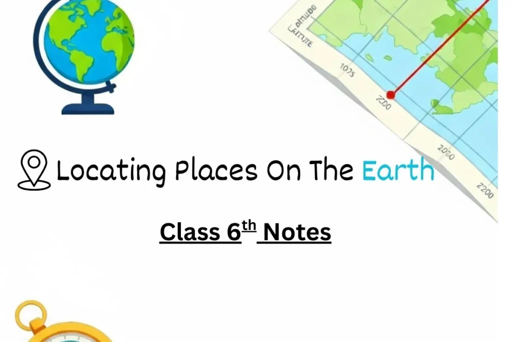
The Earth is nearly spherical, best represented by a globe. Unlike flat maps, globes accurately display the Earth’s shape and geography. Imaginary lines called latitudes and longitudes form a grid system on globes and maps to locate any place precisely.
Latitudes
- Latitudes run parallel to the Equator, which is at 0° latitude.
- They measure how far north or south a place is from the Equator (up to 90° at the poles).
- Climatic zones relate to latitude: equatorial regions are hot; polar regions are cold.
Longitudes
- Longitudes are vertical half-circles running from the North Pole to the South Pole.
- The Prime Meridian (0° longitude) passes through Greenwich, London.
- Longitude helps measure time because the Earth rotates 15° per hour.
- Places east or west of the Prime Meridian measure their position in degrees East or West.
Latitude, Longitude, and Coordinates
Together, latitude and longitude form coordinates that uniquely identify any place on Earth, such as “Delhi at 29°N latitude and 77°E longitude.” This system is similar to the coordinates used in chess or addressing a shop in a grid-like market.
Time Zones and Standard Time
- Earth completes one rotation every 24 hours, leading to 24 time zones.
- Each time zone roughly spans 15° of longitude, changing local time by one hour per zone.
- Countries use standard time based on a selected meridian to avoid multiple local times.
- India’s Standard Time (IST) is 5 hours 30 minutes ahead of Greenwich Mean Time (GMT).
- The International Date Line, at around 180° longitude, marks where the date changes by one day when crossed.
Summary of Key Points
- Maps simplify how we view and navigate the Earth using scales, directions, and symbols.
- The globe is a true representation of Earth’s geography.
- Latitude and longitude are essential for finding exact locations.
- Time zones are based on longitude and help coordinate time globally
